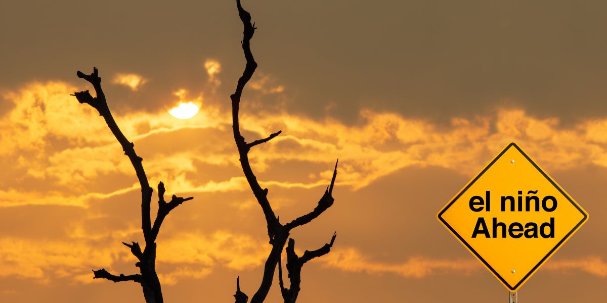
Australia’s weather outlook has taken a dramatic turn, with the Bureau of Meteorology (BOM) officially declaring the arrival of El Niño, an event already being tipped as a potential record-breaker.
The declaration confirms that the Pacific Ocean has shifted into a warmer phase, a key signal that global weather patterns are about to change. El Niño events occur when sea surface temperatures in the central tropical Pacific rise well above average, disrupting atmospheric conditions and influencing everything from rainfall to temperature extremes across the globe.
For Australians, the implications are immediate and potentially intense. While El Niño doesn’t guarantee extreme conditions on its own, it significantly increases the likelihood of a hotter, drier stretch, particularly across southern and eastern parts of the country.
What’s fuelling concern among meteorologists is the strength of this emerging system. Forecast models suggest the current event could intensify into one of the most powerful El Niño events ever recorded, with some projections indicating sea surface temperature anomalies could surpass historic benchmarks later this year.
Adding to the intrigue, this El Niño is developing earlier than usual, giving it more time to intensify heading into summer. That extended runway could amplify its effects, raising the stakes for heatwaves, reduced rainfall, and a heightened risk of bushfire conditions as the year unfolds.

Yet, in a twist that feels almost cinematic, the declaration comes at a time when parts of Australia are still experiencing heavy rainfall. Experts stress this isn’t a contradiction, but rather a reminder that El Niño is defined by ocean and atmospheric conditions, not immediate weather at ground level.
Still, the longer-term outlook is clear: drier months are likely on the horizon. BOM forecasts already point to below-average rainfall across large parts of the country between July and September, alongside above-average temperatures.
Beyond the heat, the ripple effects of El Niño can touch nearly every corner of daily life. From shorter snow seasons in alpine regions to delayed monsoons in the tropics to even shifts in cyclone activity, the climate system is gearing up for a noticeable change.
Despite the ominous forecasts, meteorologists are quick to note that no two El Niño events are the same. Other climate influences, including the Indian Ocean Dipole and Southern Annular Mode, could still shape how conditions play out across Australia in the coming months.
For now, Australia is entering a wait-and-watch phase, but with the dial turned up on anticipation. If predictions hold, this could be an El Niño that doesn’t just make headlines, but rewrites the record books.


